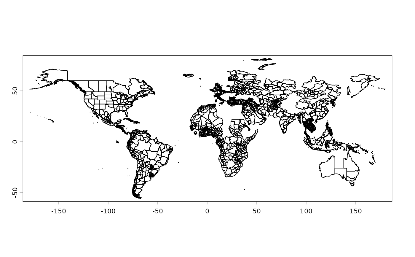
A simplified PackedSpatVector containing state-level polygons (e.g.,
provinces, departments, regions) for countries worldwide. Names and parent
countries (geonunit) were cleaned (lowercase, accents removed).
Format
A PackedSpatVector object with polygons of administrative divisions
and one attribute:
- name
State/province/region name.
Details
The dataset was generated from rnaturalearth::ne_states(). The following
processing steps were applied:
kept only administrative types:
"Province","State","Department","Region","Federal District";selected only
"name"and"geonunit"columns;both fields were cleaned via
tolower()andremove_accent();records where state name = country name were removed;
geometries were simplified using
terra::simplifyGeom(tolerance = 0.05);wrapped with
terra::wrap()for internal storage.